Areas · Tokachi Range, Daisetsuzan
Mt Tokachidake
↕ 1326 m · 5 Routes · Explore in 3D
JMA Volcanic Alert Level 2 (crater-vicinity restriction, since June 2026). A ~1.5 km no-go ring around the 62-2 crater takes in the summit and upper Maetokachi — most objectives are restricted (Sandan-yama and the Ansei-crater valley currently sit outside). The live JMA restriction ALWAYS overrides any historical route line shown here. Check the live JMA volcano bulletin before touring.
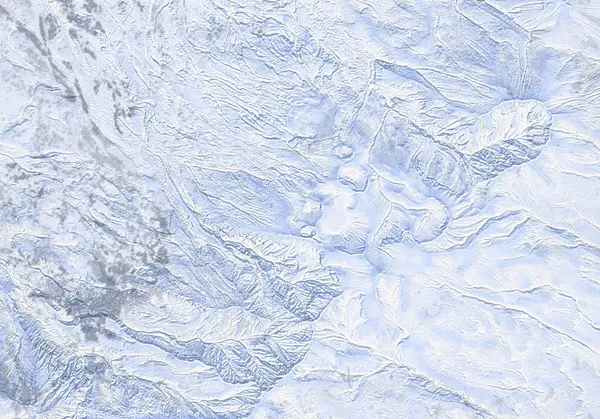 出典:国土地理院
出典:国土地理院(標高タイル dem5a + DEM10B を加工して作成) / CC BY-SA 4.0
Today's conditions
…
Safety
Routes
Tokachidake — Bogakudai approach
Vertical1140 m Distance16.0 km Max slope56°
↘ N·W·NW · Terrain class (auto, not official ATES):
Complex Tokachidake — Maetokachi / Taisho Crater
Vertical614 m Distance6.6 km Max slope39°
↘ NW·W·N · Terrain class (auto, not official ATES):
Complex Tokachidake — Maetokachi Kabawara Ridge
Vertical724 m Distance6.3 km Max slope46°
↘ NW·W·N · Terrain class (auto, not official ATES):
Complex Tokachidake — Sandan-yama
Vertical733 m Distance6.2 km Max slope42°
↘ N·NW·W · Terrain class (auto, not official ATES):
Complex Tokachidake — Ansei Crater
Vertical362 m Distance5.0 km Max slope50°
↘ SW·W·NW · Terrain class (auto, not official ATES):
Complex Access & terrain features
Route GPX waypoints and elevations are planning data. Verify them against current official information and in the field.
Parking / trailhead Large plowed parking area 1268 m
Emergency hut Nice gully for sheltered downhill skiing 1366 m
Emergency hut Tokachidake Refuge Hut 1319 m
Emergency hut Mt. Tokachi Emergency Hut 1319 m
Summit / crater Mt. Maetokachi Peak 1785 m
Summit / crater Crater and fumeroles 1650 m
Summit / crater Ansei Crater 1480 m
Terrain note Fumaroles 1744 m
Terrain note Ryounkaku Onsen 1267 m
Terrain note Wide-open featureless 1192 m
Terrain note Kamihoroso Onsen 1146 m
Terrain note Hakuginso Lodge 1016 m
Terrain note Hakuginso Lodge 1009 m
Terrain note Fukiage open-air wild onsen 1005 m
Terrain note Fukiage Onsen 1004 m