01Choose an area
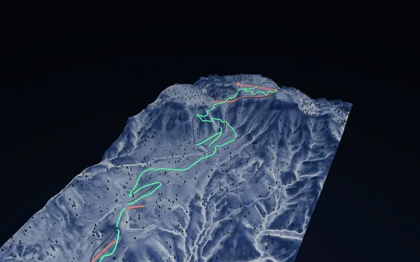
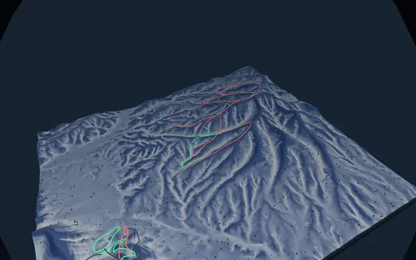
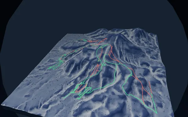
Start with a published Hokkaido area.
Each area leads to its 3D terrain, recorded routes and sources. This is separate from resort mapping.
Move through Hokkaido areas with 3D terrain, slope angles, routes and daily information in one planning flow. The map is a planning aid, not a safety guarantee.
Each area leads to its 3D terrain, recorded routes and sources. This is separate from resort mapping.
A slope-angle layer derived from the DEM, shading the 30–45° terrain where avalanches most often release. This map does not remove danger — it helps you find it. The final call must always be made on the ground.
Weather, snowpack, wind direction. Today's conditions and the daily snapshot, gathered in one place. The numbers are only a starting point — read them alongside the official avalanche bulletin, and keep the nerve to turn back.
Runs, lifts and terrain at a glance — rotate, tilt and test-ride Hokkaido’s major resorts before you pick today’s mountain.
Closest to Sapporo · Olympic-legacy terrain
View the 3D map →
Tri-mountain resort · legendary powder
View the 3D map →
World-class powder · the legendary four-mountain united area
View the 3D map →
SnowWind publishes an independent Hokkaido guide's listing only after checking their certification and liability insurance. Your booking is directly with the guide — SnowWind provides the introduction and the payment rails, and nothing beyond that. The decisions on the mountain stay with you and your guide.
For certified guides: Are you a certified guide? Ask about listing