Shakunage-dake · Routes
↘ Shakunage-dake — via Chisenupuri Ski Area
This route carries serious backcountry hazards. Its slope and ATES labels are planning estimates; they do not decide whether it is safe today or suitable for your group.
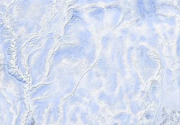 出典:国土地理院
Steepness · profile
← Distance 7.4 km →
Per-segment terrain (data table)
| % | m | Steepness | Aspect |
|---|---|---|---|
| 0% | 553 | 13° | SW |
| 3% | 558 | 19° | S |
| 6% | 601 | 21° | S |
| 10% | 636 | 20° | SE |
| 13% | 659 | 24° | S |
| 16% | 696 | 29° | SE |
| 19% | 758 | 30° | SW |
| 23% | 814 | 22° | S |
| 26% | 851 | 15° | SW |
| 29% | 853 | 23° | SW |
| 32% | 865 | 22° | SW |
| 35% | 876 | 20° | S |
| 39% | 886 | 25° | W |
| 42% | 915 | 25° | NE |
| 45% | 967 | 28° | SE |
| 48% | 993 | 34° | S |
| 52% | 1048 | 31° | N |
| 55% | 1017 | 34° | N |
| 58% | 987 | 28° | SE |
| 61% | 948 | 25° | E |
| 65% | 901 | 22° | E |
| 68% | 887 | 20° | S |
| 71% | 865 | 23° | SW |
| 74% | 856 | 11° | SW |
| 77% | 857 | 17° | W |
| 81% | 844 | 21° | SW |
| 84% | 804 | 30° | W |
| 87% | 740 | 27° | S |
| 90% | 682 | 23° | SE |
| 94% | 654 | 20° | S |
| 97% | 629 | 22° | S |
| 100% | 590 | 19° | S |
Route guide
The route from the Chisenupuri ski area is the standard approach to Shakunage-dake (1074 m). From the parking lot of the former Chisenupuri ski area (~548 m) you climb a public-use up-track (orange markers) for about 40 minutes, then traverse the broad col between Chisenupuri and Venus Hill northwestward to the conical summit. Hokkaido Wilds gives ~7.4 km and ~481 m of gain. The bake reads the aspect as south (S), with a line median of ~17°, a maximum of ~33°, and an ATES rating of 'challenging.' Read this as a description, not a recommendation.
[Terrain] Reaching the summit takes a 30–40 minute skin across the col — a real time commitment. Skiing can be had on all aspects from the peak, and the broad face down toward Naganuma Pond is noted as prime terrain. Waypoints mark 'Good downhill skiing' and 'Venus Hill,' among others.
[Avalanches and navigation] It is a conical, isolated peak whose upper slopes look uniform in every direction; in flat light (cloud or fog) it is easy to drop onto an aspect other than the one you climbed. Because the day is an out-and-back across a col, confirming your descent bearing matters. Check the Niseko avalanche bulletin and the JAN SW Hokkaido bulletin before departing, and make your own stability assessment.
Access & logistics
Start & parking: The parking lot of the former Chisenupuri ski area (~548 m, 42.868°N, 140.596°E), used as a backcountry trailhead.
Getting there: A car is the practical option, off the Niseko Panorama Line (Route 66). Expect snow and ice in winter; the same range as Goshiki Onsen.
The day: ~7.4 km, ~481 m. About 40 minutes up the public up-track (orange markers), then a 30–40 minute skin across the col to the summit.
Info: Check the Niseko avalanche bulletin and the JAN SW Hokkaido bulletin before departing.
Trip plan
Terrain (auto)
Slope-based estimate — not an official ATES rating.
Today's conditions
…
All values are estimates. Defer to official avalanche + weather bulletins.
Avalanche bulletin (read first)
Today's danger rating + avalanche rose (aspect/elevation) come from the official bulletin — check it before you go.
Pre-trip checklist
Hokkaido Wilds · Rob Thomson — HokkaidoWilds.org · CC BY-SA 4.0
Route data source: Rob Thomson — HokkaidoWilds.org · CC BY-SA 4.0 · ↓ Download GPX