Areas · Daisetsuzan / Sounkyo
Kuro-dake
↕ 1383 m · 1 Routes · Explore in 3D
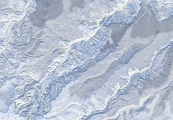 出典:国土地理院
出典:国土地理院(標高タイル dem5a + DEM10B を加工して作成) / CC BY-SA 4.0
Today's conditions
…
Safety
Routes
Access & terrain features
Route GPX waypoints and elevations are planning data. Verify them against current official information and in the field.
Hazard Narrow gap between bluffs/cliffs 976 m
Summit / crater Kurodake summit 1980 m
Terrain note Steep - can be icy 1897 m
Terrain note Upper chairlift station (open from spring) 1527 m
Terrain note Chairlift operational from April 1329 m
Terrain note Gondola top station 1297 m
Terrain note STEEP TREES: Under gondola descent 878 m
Terrain note Gondola bottom station 659 m
Terrain note Shrine 658 m