Areas · Daisetsuzan / Tokachi Range
Biei-dake
↕ 1481 m · 1 Routes · Explore in 3D
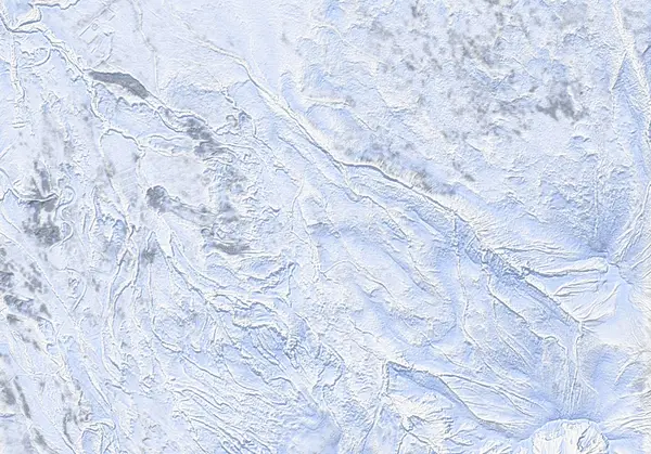 出典:国土地理院
出典:国土地理院(標高タイル dem5a + DEM10B を加工して作成) / CC BY-SA 4.0
Today's conditions
…
Safety
Routes
Access & terrain features
Route GPX waypoints and elevations are planning data. Verify them against current official information and in the field.
Hazard Sheltered(ish) gully terrain 1842 m
Summit / crater Biei-dake Summit (2052m) 2040 m
Terrain note Treeline ends abruptly 1029 m
Terrain note Clearing 931 m
Terrain note Re-planted conifers (rows) 903 m
Terrain note Cross creek 693 m
Terrain note Park at end of snow-clearing 648 m